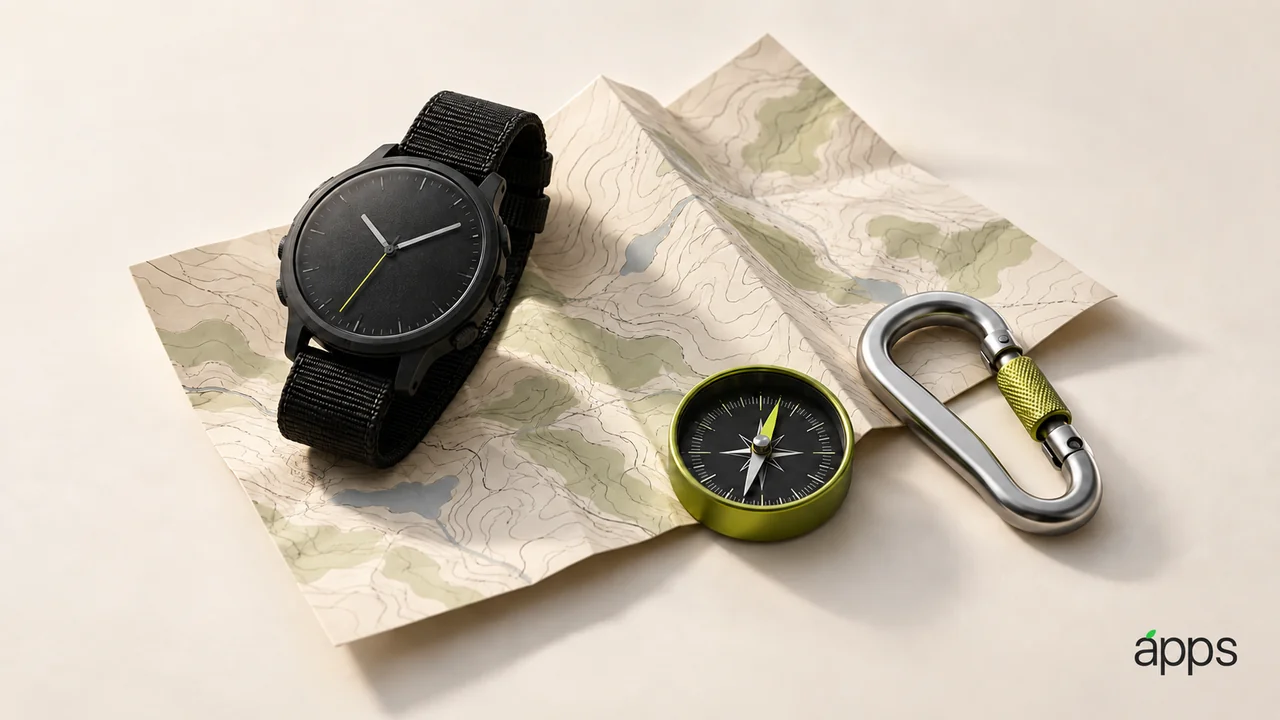
The least glamorous part of a good outing happens before the door closes. You know where you are going, where the useful information is, and what you will do if the plan changes.
Apple Watch Ultra 4 arrived in stores on September 18. Its product page describes downloading a hiking map on iPhone for synchronization to the watch, alongside Compass waypoints. Those tools are worth understanding before you need them outdoors.
The AppleApps take
Start with a route you can explain without opening an app. Identify the starting point, intended destination and a reasonable point to turn back. Then decide which information belongs on the phone and which brief checks you want on the wrist.
An outdoor app is easier to evaluate when the job is specific. “Help me find the turn I tend to miss” is a useful requirement. “Have all the adventure features” leaves you with a long list and very little confidence about any one task.
If your chosen app offers downloaded information, verify the particular route or area you intend to use. Open the saved content before leaving and check what is actually present. Do not treat a download icon as a substitute for inspecting the result.
Practice the small interaction
A wrist check should be something you can recognize quickly. Try finding the relevant map or waypoint while standing, with the clothing and bag you normally take. You may discover that an otherwise clear sequence needs an awkward extra step.
Keep the useful controls easy to reach, and remove distractions from the outing’s app arrangement. A simpler setup is easier to remember when your attention belongs elsewhere.
Include charging and access to your route information in the plan. Tell someone your intended route and expected return when appropriate, and keep another suitable way to navigate. A connected device supports preparation; it does not replace judgment about weather, terrain or your own abilities.